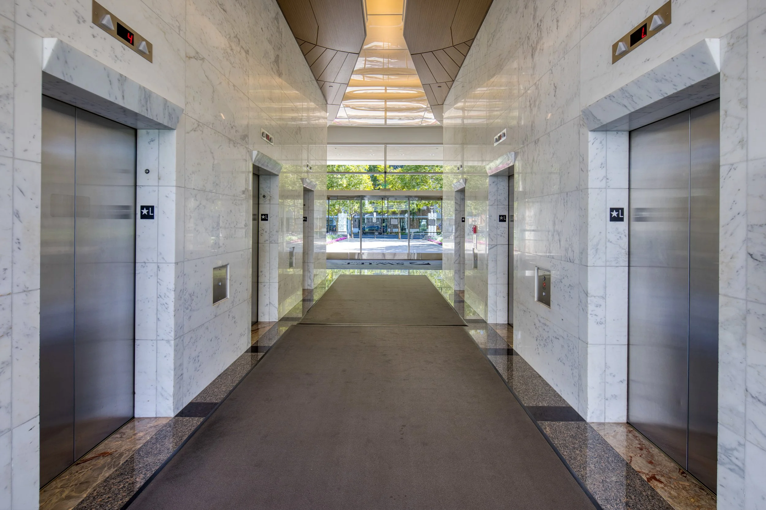
Location
Nearby Amenities

Site Plan

Amenity Rich Location
Within a 10 Minute Drive
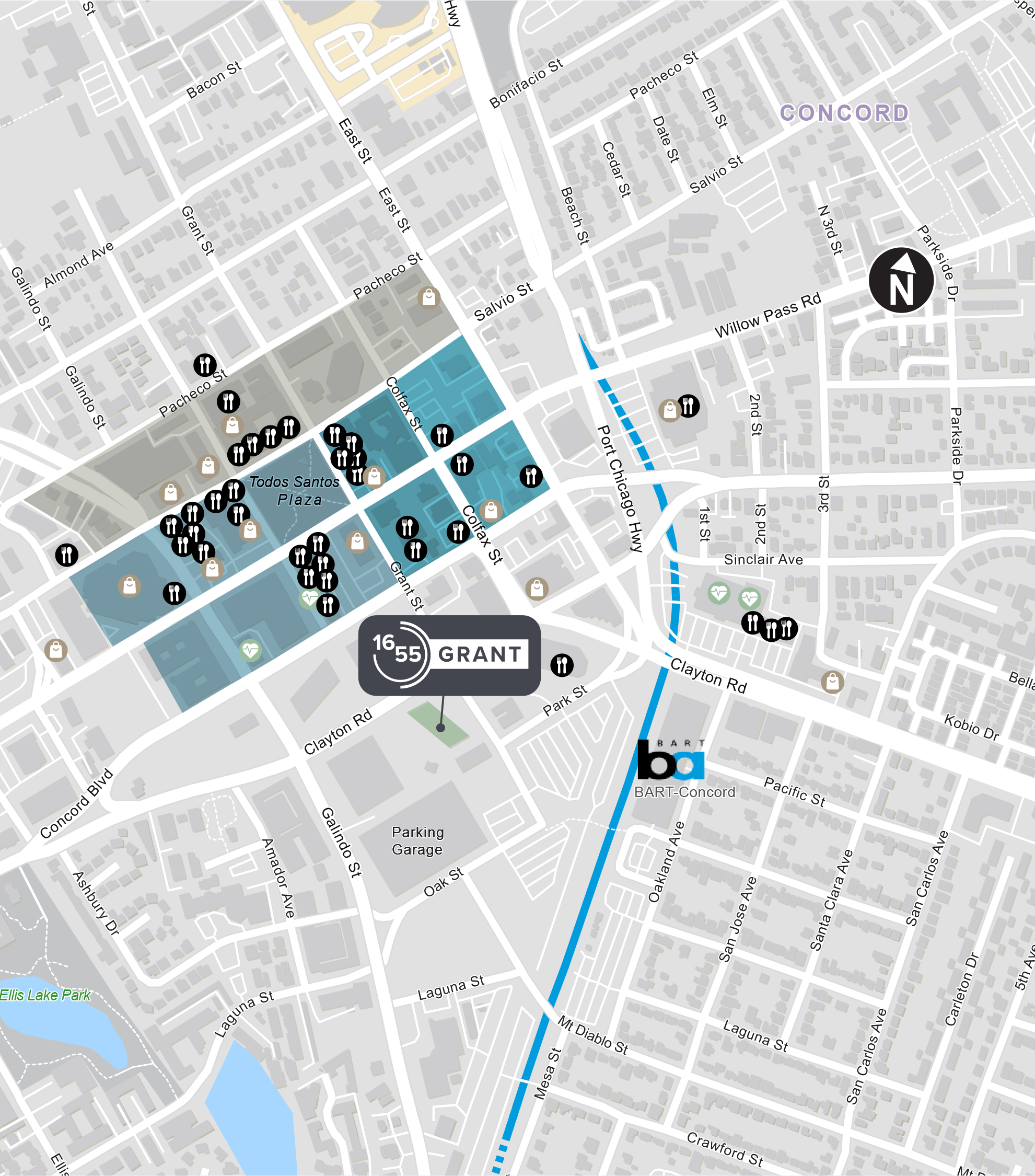
40+ Restaurants & Cafes
Enjoy a diverse assortment of casual and fine dining with options from Starbucks to Kinja Sushi Bar & Restaurant.

15+ Shops & Services
Conveinent access to Wells Fargo,Chase Bank, Safeway, USPS, and AT&T.

4+ Wellness & Recreation
Achieve your fitness and health at 24 Hour CVS.

Transit and Accessibility

Bus transportation via Contra Costa Connection throughout the East Bay.


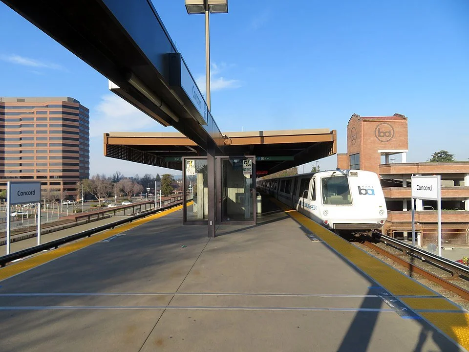
Project located at Concord BART station.
Immediate access to regional airport –Buchanan Field & Access to San Francisco International Airport and Oakland Airport via BART.

Easy access to Interstate 680 and Hwy242 with close proximity to Hwy 4 and Hwy 24.
Travel Times From Concord BART Station
| Embarcadero - Downtown SF | 43 min. |
| SFO Airport | 1 hr. 16 min. |
| Oakland City Center | 31 min. |
| Oakland Airport | 43 min. (BART + Air BART) |
| Fremont | 1 hr. 9 min. |
Bart Map

Our Neighbors